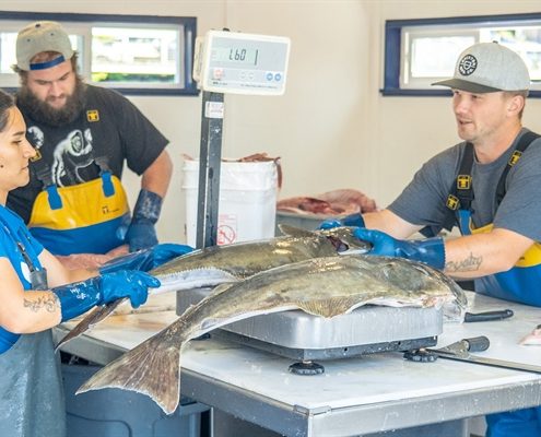
Sea Grant Funds 11 “Food from the Sea” Career Development Projects
Sea Grant awards $3.5M to improve sustainable aquaculture and strengthen seafood resources
>>Read the full article by Hallee Meltzer via NOAA Sea Grant
NOAA Sea Grant today announced $3.5 million in federal funding to support two efforts aiding sustainable growth of U.S. seafood, one focused on improving coordination…
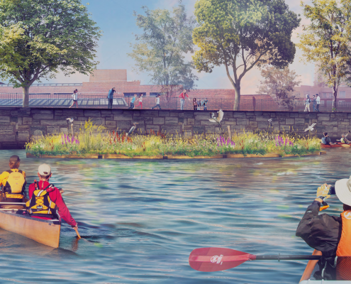
Science kits connect students with Charles River Floating Wetland
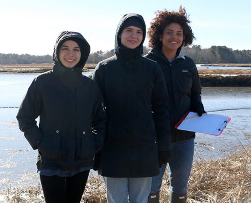
Announcing the new Massachusetts Sea Grant Graduate Research Fellowship
Woods Hole Sea Grant and MIT Sea Grant are pleased to jointly announce the new Massachusetts Sea Grant Graduate Research Fellowship. The fellowship anticipates supporting two students applying to Massachusetts graduate programs and engaging…
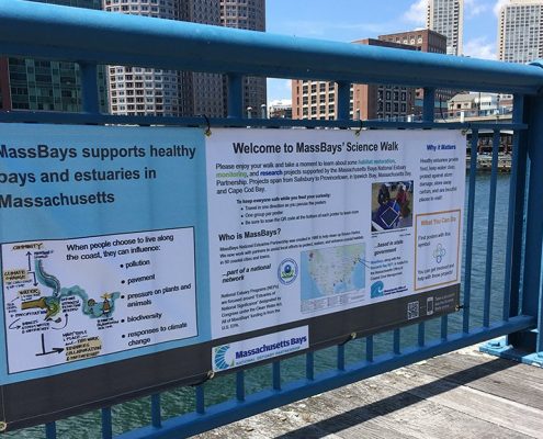
Take a Science Walk with MassBays, MIT Sea Grant, MA DMF, and More!
TAKE A SCIENCE WALK!
Learn about coastal habitat restoration, monitoring, and research in the Bays from Salisbury to Provincetown.
The MassBays National Estuary Partnership and partners including MIT Sea Grant, MA DMF, and many more,…

MIT News: Innovations in Water Accessibility
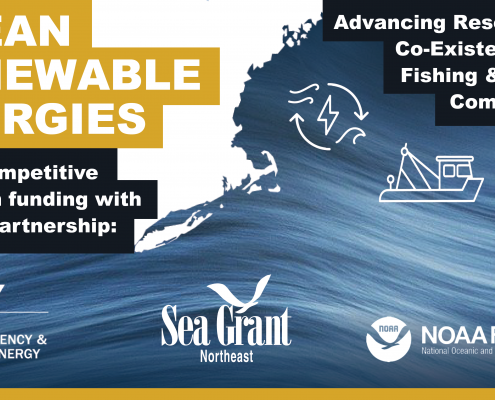
Q&A SESSION APRIL 15 – Advancing Research for the Co-Existence of Fishing, Coastal Communities and Regional Ocean Renewable Energies

Sea Grant, DOE, NOAA Fisheries partner to support research for the co-existence of ocean energy with Northeast fishing and coastal communities
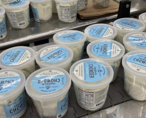
This Spring, MIT Undergrads Catch a Taste of Cape Cod Haddock Chowder
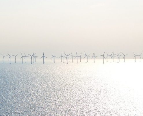
Survey: Offshore Renewable Energy Stakeholder Needs
MIT Sea Grant would like your input on offshore renewable energy stakeholder needs. We are seeking feedback for three focus areas outlined below, as well as any additional stakeholder needs you may have that pertain to offshore renewable energy.
>>…

