 https://seagrant.mit.edu/wp-content/uploads/2021/10/circuit-board-g7a7221650_1920.jpg
1080
1920
Lily Keyes
https://seagrant.mit.edu/wp-content/uploads/2023/05/MITSG_logo_website.png
Lily Keyes2021-10-13 16:45:472021-10-13 16:50:59MIT IoT Seminar Series: Ocean IoT Focus
https://seagrant.mit.edu/wp-content/uploads/2021/10/circuit-board-g7a7221650_1920.jpg
1080
1920
Lily Keyes
https://seagrant.mit.edu/wp-content/uploads/2023/05/MITSG_logo_website.png
Lily Keyes2021-10-13 16:45:472021-10-13 16:50:59MIT IoT Seminar Series: Ocean IoT Focus https://seagrant.mit.edu/wp-content/uploads/2021/08/Fellowship_Banner.jpg
470
1200
Lily Keyes
https://seagrant.mit.edu/wp-content/uploads/2023/05/MITSG_logo_website.png
Lily Keyes2021-08-03 12:00:182021-08-02 17:10:47Announcing the new Massachusetts Sea Grant Graduate Research Fellowship
https://seagrant.mit.edu/wp-content/uploads/2021/08/Fellowship_Banner.jpg
470
1200
Lily Keyes
https://seagrant.mit.edu/wp-content/uploads/2023/05/MITSG_logo_website.png
Lily Keyes2021-08-03 12:00:182021-08-02 17:10:47Announcing the new Massachusetts Sea Grant Graduate Research Fellowship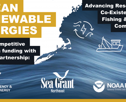 https://seagrant.mit.edu/wp-content/uploads/2021/03/OceanEnergy_Twitter_March24.png
2813
5000
Ben Bray
https://seagrant.mit.edu/wp-content/uploads/2023/05/MITSG_logo_website.png
Ben Bray2021-04-09 22:35:592021-04-23 20:10:06Q&A SESSION APRIL 15 – Advancing Research for the Co-Existence of Fishing, Coastal Communities and Regional Ocean Renewable Energies
https://seagrant.mit.edu/wp-content/uploads/2021/03/OceanEnergy_Twitter_March24.png
2813
5000
Ben Bray
https://seagrant.mit.edu/wp-content/uploads/2023/05/MITSG_logo_website.png
Ben Bray2021-04-09 22:35:592021-04-23 20:10:06Q&A SESSION APRIL 15 – Advancing Research for the Co-Existence of Fishing, Coastal Communities and Regional Ocean Renewable Energies https://seagrant.mit.edu/wp-content/uploads/2019/08/DeanHornAward.png
1500
3000
Lily Keyes
https://seagrant.mit.edu/wp-content/uploads/2023/05/MITSG_logo_website.png
Lily Keyes2021-04-01 16:40:222021-04-01 16:40:22MIT Sea Grant is accepting nominations for the Dean A. Horn Award for Undergraduate Study in Marine Research through May 1, 2021
https://seagrant.mit.edu/wp-content/uploads/2021/03/OceanEnergy_Twitter_March24.png
2813
5000
Lily Keyes
https://seagrant.mit.edu/wp-content/uploads/2023/05/MITSG_logo_website.png
Lily Keyes2021-03-29 12:30:542025-06-11 16:18:14Sea Grant, DOE, NOAA Fisheries partner to support research for the co-existence of ocean energy with Northeast fishing and coastal communities
https://seagrant.mit.edu/wp-content/uploads/2019/08/DeanHornAward.png
1500
3000
Lily Keyes
https://seagrant.mit.edu/wp-content/uploads/2023/05/MITSG_logo_website.png
Lily Keyes2021-04-01 16:40:222021-04-01 16:40:22MIT Sea Grant is accepting nominations for the Dean A. Horn Award for Undergraduate Study in Marine Research through May 1, 2021
https://seagrant.mit.edu/wp-content/uploads/2021/03/OceanEnergy_Twitter_March24.png
2813
5000
Lily Keyes
https://seagrant.mit.edu/wp-content/uploads/2023/05/MITSG_logo_website.png
Lily Keyes2021-03-29 12:30:542025-06-11 16:18:14Sea Grant, DOE, NOAA Fisheries partner to support research for the co-existence of ocean energy with Northeast fishing and coastal communities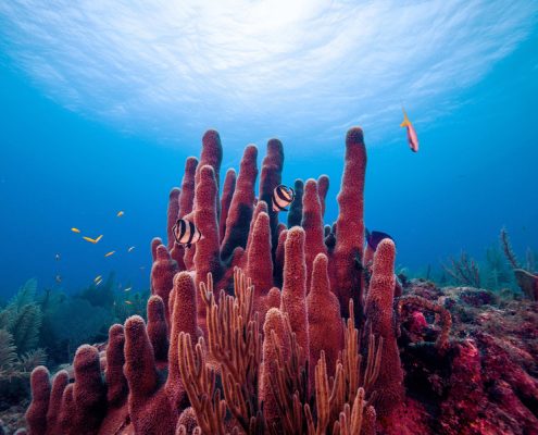 https://seagrant.mit.edu/wp-content/uploads/2021/01/MIT-coral-microbiome-01-press_1.jpg
600
900
Lily Keyes
https://seagrant.mit.edu/wp-content/uploads/2023/05/MITSG_logo_website.png
Lily Keyes2021-01-11 18:07:202021-01-11 18:20:56MIT News | Scientists discover slimy microbes that may help keep coral reefs healthy
https://seagrant.mit.edu/wp-content/uploads/2021/01/MIT-coral-microbiome-01-press_1.jpg
600
900
Lily Keyes
https://seagrant.mit.edu/wp-content/uploads/2023/05/MITSG_logo_website.png
Lily Keyes2021-01-11 18:07:202021-01-11 18:20:56MIT News | Scientists discover slimy microbes that may help keep coral reefs healthy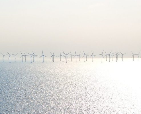 https://seagrant.mit.edu/wp-content/uploads/2021/01/wind-839724_1920-e1610139285929.jpg
734
1574
Lily Keyes
https://seagrant.mit.edu/wp-content/uploads/2023/05/MITSG_logo_website.png
Lily Keyes2021-01-08 19:52:312021-02-12 00:52:58Survey: Offshore Renewable Energy Stakeholder Needs
https://seagrant.mit.edu/wp-content/uploads/2021/01/wind-839724_1920-e1610139285929.jpg
734
1574
Lily Keyes
https://seagrant.mit.edu/wp-content/uploads/2023/05/MITSG_logo_website.png
Lily Keyes2021-01-08 19:52:312021-02-12 00:52:58Survey: Offshore Renewable Energy Stakeholder Needs https://seagrant.mit.edu/wp-content/uploads/2020/10/Screen-Shot-2020-10-02-at-12.18.00-PM.png
632
1288
Lily Keyes
https://seagrant.mit.edu/wp-content/uploads/2023/05/MITSG_logo_website.png
Lily Keyes2020-10-02 15:12:302020-10-02 17:19:32WORKSHOP OCT 5, 7, 9: SMART OCEANS 2020
https://seagrant.mit.edu/wp-content/uploads/2020/10/Screen-Shot-2020-10-02-at-12.18.00-PM.png
632
1288
Lily Keyes
https://seagrant.mit.edu/wp-content/uploads/2023/05/MITSG_logo_website.png
Lily Keyes2020-10-02 15:12:302020-10-02 17:19:32WORKSHOP OCT 5, 7, 9: SMART OCEANS 2020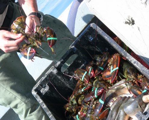 https://seagrant.mit.edu/wp-content/uploads/2020/09/ALI.jpg
449
600
Lily Keyes
https://seagrant.mit.edu/wp-content/uploads/2023/05/MITSG_logo_website.png
Lily Keyes2020-09-09 17:27:022021-05-28 15:01:39Sea Grant announces $2 million in support of 2020 American Lobster Initiative projects
https://seagrant.mit.edu/wp-content/uploads/2020/09/ALI.jpg
449
600
Lily Keyes
https://seagrant.mit.edu/wp-content/uploads/2023/05/MITSG_logo_website.png
Lily Keyes2020-09-09 17:27:022021-05-28 15:01:39Sea Grant announces $2 million in support of 2020 American Lobster Initiative projects https://seagrant.mit.edu/wp-content/uploads/2020/06/sea-2755908_1920.jpg
1078
1920
Lily Keyes
https://seagrant.mit.edu/wp-content/uploads/2023/05/MITSG_logo_website.png
Lily Keyes2020-06-12 19:19:402020-06-30 13:45:41June 23, 2020 MIT Sea Grant Funded Research Project Update: Ocean Acidification
https://seagrant.mit.edu/wp-content/uploads/2020/06/sea-2755908_1920.jpg
1078
1920
Lily Keyes
https://seagrant.mit.edu/wp-content/uploads/2023/05/MITSG_logo_website.png
Lily Keyes2020-06-12 19:19:402020-06-30 13:45:41June 23, 2020 MIT Sea Grant Funded Research Project Update: Ocean Acidification